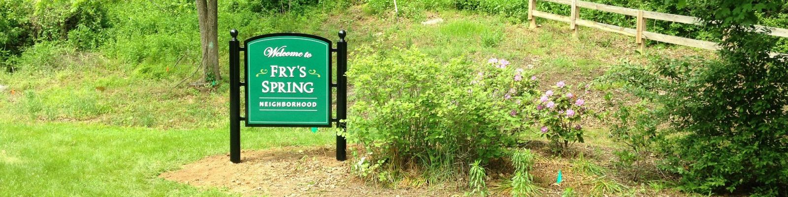
Historic Survey of Fry’s Spring Neighborhood (City website)
Fry’s Spring Neighborhood National Register Historic District (City website)
Charlottesville zoning map -(this will likely be updated in 2022 to reflect changes to the Comprehensive Plan and Future Land Use Maps). As of 2021, the following zoning types are included in our neighborhood:
R-1: Single Family zoning (allows single family detached houses with one accessory apartment and a maximum of 4 unrelated persons per unit)
R-1S: Single Family Small Lot (allows single family detached houses on smaller lots with one accessory apartment and a maximum of 4 unrelated persons per unit)
R-2: Two-Family (allows single family detached, attached, and duplex units with a maximum of 4 unrelated persons per unit)
City Operations Website – The City of Charlottesville maintains an interactive web map of active projects: https://gisweb.
My Cville App – MyCville is a simple and intuitive online and smart phone application that enables the residents of Charlottesville to request services and identify quality of life and environmental issues and report them to the appropriate department for quick resolution. Learn more at: http://www.
City of Charlottesville Crime Map – The new crime map can be accessed at: https://gisweb.